
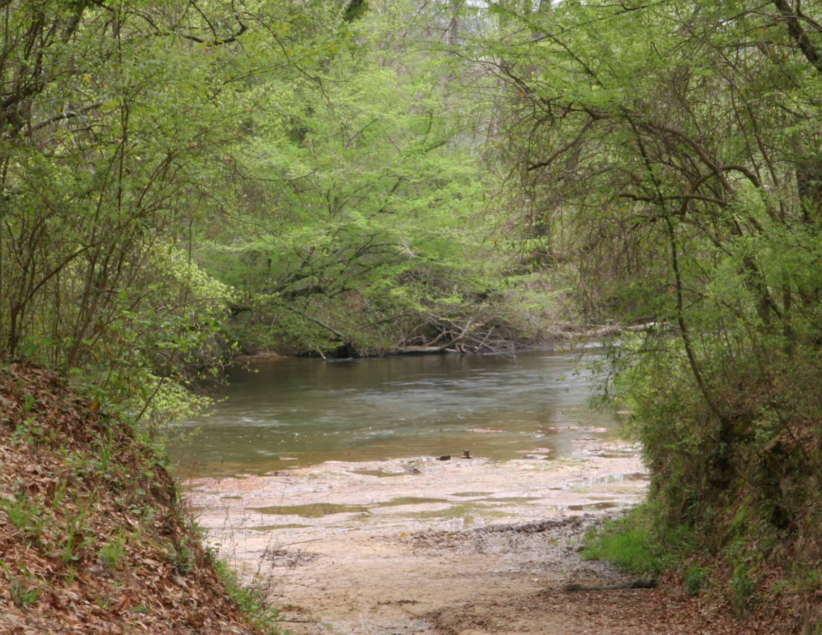
USGS gauge 02472850 · Okatoma Creek at Sanford, MS
What the creek level means for your float
How to read the gauge, what high and low water actually feel like in a boat, and who to call when you are not sure.
Start here: what a creek gauge actually measures
People check the gauge before a float the way they check the forecast, and then read far more into the number than the number is carrying. So it is worth being plain about what a gauge is.
A stream gauge is one instrument, at one point on the creek. It reports two different things and they are easy to mix up.
Gauge height is given in feet. It is the height of the water surface above a fixed reference point that somebody set at that instrument, years ago, for that station. It is not the depth of the creek, and it is certainly not the depth of the creek where you will be paddling. A reading of five feet does not mean five feet of water under your boat. It means the surface is five feet above that station's own zero. The number is only meaningful compared with other readings from the same gauge.
Discharge is given in cubic feet per second, and it is the volume of water going past the instrument every second. Discharge is the better number for judging how pushy a creek is, because it does not depend on an arbitrary datum — but most people find feet easier to picture, so height is what gets quoted.
Both are provisional when they are fresh. USGS publishes readings within minutes and reviews them later, so a live figure can be corrected afterwards. Fine for deciding whether to load the truck; not something to treat as gospel.
And both are a snapshot of one spot. A creek does not have a single level. It has ledges, pools, bends and bars, and each of them behaves differently as the water comes up or goes down. That is the whole reason the next section is about the shape of the line, not the value at the end of it.
How to read the USGS page in about ninety seconds
The gauge linked from the bottom of every page on this site is USGS 02472850 — Okatoma Creek at Sanford, MS. Open it here: waterdata.usgs.gov — Okatoma Creek at Sanford
- Check the station name first. There is more than one gauge on this watershed, and an upstream station will read differently from the one at Sanford. If you have landed on a page that does not say Okatoma Creek at Sanford, you are looking at a different piece of creek.
- Find the latest reading, and note the timestamp beside it. A creek can move a long way in six hours.
- Then ignore the number and look at the line. The plot shows the last several days. The shape of it tells you more than today's value does.
- Rising line — water is coming in from somewhere upstream. It has rained, and the rain has not finished arriving. The creek will keep changing while you are on it.
- Flat line — the creek is settled. What you see this morning is roughly what you will paddle this afternoon.
- Falling line — the creek is dropping back after a rise. Usually the easiest water to read, because it is on its way to somewhere predictable.
- Switch to discharge and look again. Sometimes a height plot looks calm while the volume plot is climbing. Two views of the same day, and the second one is the honest one.
A creek this size responds fast. Rain fifteen miles upstream does not arrive at Sanford at the same moment it hits the ground — it arrives hours later, which is why a bright blue morning can sit on top of a rising creek. Look at the line, not out of the window.
What it feels like from the seat
None of the following is a rule and none of it is a number. It is what paddlers notice on any sand-and-gravel creek as the water moves up and down.
When the creek is up
Everything happens sooner. The current does more of the work and gives you less time to set up for a drop. Sandbars go under, so the places you meant to stop and eat are not there. The falls stop being steps and start being waves. Fallen timber becomes the thing to watch — a strainer that was sitting on dry gravel last month is now in the current, and water goes through it while a boat does not. Give any downed tree a wide berth and pass on the outside of it.
When the creek is down
Everything takes longer. You will find yourself stepping out and walking the boat across shoals, which is exactly why old tennis shoes are on the list and flip-flops are not. Rock contact is sharper and more frequent, and an aluminum canoe will find every ledge you miss. Pools that were chest deep are knee deep — look before you jump, every trip. Budget more hours than the sign says, and more water to drink, because you will be out in the sun longer.
After a hard rain
The creek is generally muddy, faster, and full of things that were on the bank yesterday. Visibility into the water drops to nothing, so you cannot read what you are about to run. Debris moves. Banks are slick. This is the condition where a trip is worth a phone call rather than a guess — call 601-722-4297 before you drive out, not after you arrive.
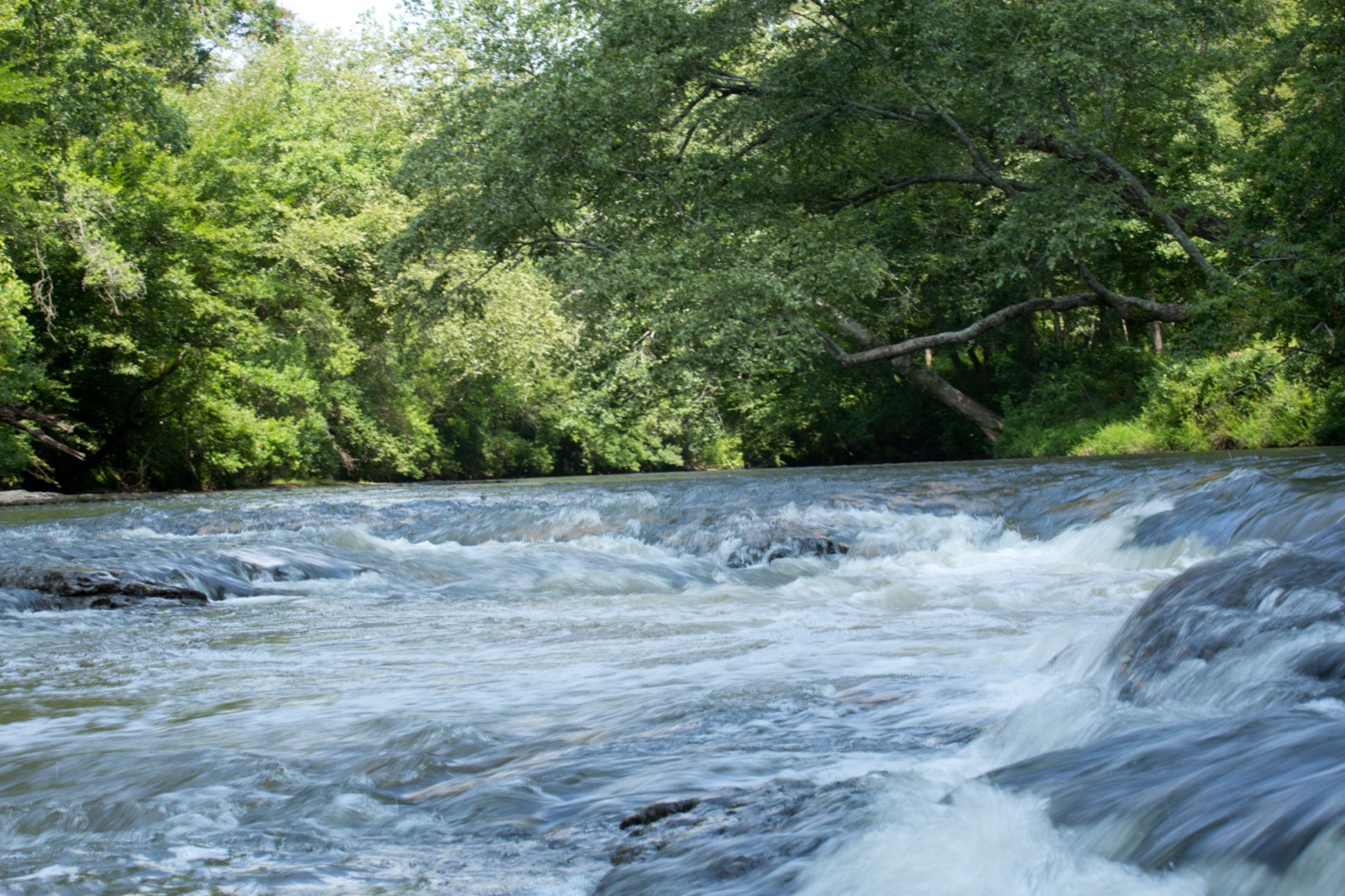
The same shoal is a different shoal every month
This is a sand-and-gravel creek. It rearranges itself. A rise moves sand from the inside of one bend to the inside of the next, drops a tree across the channel, scours a pool deeper and fills another one in. The rock ledges stay where they are; almost nothing else does.
That is why nobody who paddles here regularly quotes a magic number. The same reading in April and in August will not give you the same creek, because between those two months the creek has been rebuilt twice.
What it does mean is that local knowledge beats a website. People who paddle a creek weekly know what a given reading looks like this season. That knowledge lives at the counter and on the telephone, not in a table.
Late summer is when a small south Mississippi creek runs at its lowest — long, hot, slow, more walking than paddling in places. Spring is when it is fullest, and fastest. Neither is better. They are different trips, and it is worth knowing which one you are booking.
Our own figure
At the foot of every page on this website there is one line of ours about the creek:
Normal Water Level is 7.5
That is our number and it is there for reference. What today's reading means for your trip — your boat, your party, your day — is a question for the office, not for a web page.
When the creek looks unusual, or it has rained hard upstream, or you simply are not sure:
CALL 601-722-4297 BEFORE YOU DRIVE OUT.
It takes half a minute and it is the only answer that is current. We are open 8 AM – 6 PM, March 1 through October 31.
While you are planning, the two runs and their hours are on float trips, and the kit list is on what to bring.
Water level questions
Which USGS gauge should I be looking at?
USGS 02472850 — Okatoma Creek at Sanford, MS. That is the gauge linked from the footer of every page on this site. There is more than one gauge on this watershed, so check the station name at the top of the page before you read anything into a number.
Does the gauge height tell me how deep the creek is?
No. Gauge height is the height of the water surface above a fixed reference point set at that one instrument. It is not a depth, and it is not the depth where you are floating. It is only useful compared with other readings from the same gauge.
Is a higher reading better for a float trip?
Not automatically. More water means a faster, pushier creek with fewer sandbars showing and less time to line up a drop; less water means a slower creek with more walking and more rock. Which one suits you depends on your boat, your party and your experience. If you want to know what the creek is doing today, call 601-722-4297.
It rained yesterday. Can we still float?
That is a phone call, not a web page. Rain upstream takes hours to reach the Sanford gauge, so the creek can still be rising under a clear sky. Call 601-722-4297 before you drive out.
Who do I ask about conditions on the day?
The office. Call 601-722-4297 or 1-888-OKATOMA and ask what the creek is doing. Our reservation and cancellation policy is set out in full on Information & Pricing.
Why does the creek look muddy?
Because it is carrying sediment after a rise. A sand-and-gravel creek picks up and moves material every time it comes up, and the color is the first thing to change and the last thing to clear. Muddy water also means you cannot see what you are about to run — worth knowing before you take a fall at speed.
When in doubt
Call the Post before you load the truck.
601-722-4297 or 1-888-OKATOMA. Open 8 AM – 6 PM, March 1 – October 31.